Unhŭng County is a kun, or county, in Ryanggang province, North Korea. It was created following the division of Korea from portions of Hyesan and Kapsan.
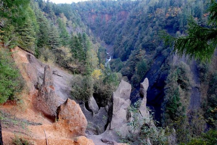
Unhŭng lies on the southwest edge of the Paektu lava plateau, among the Paektu Mountains. The highest of its many peaks is Taegakbong. The chief streams are the Unchong River (운총강), Osichon (오시천) and Taedongchon (대동천). Some 86% of the county's area is forested.
There is relatively little agriculture, except for dry-field farms producing potatoes, wheat and soybeans. Logging is the chief industry, with lumber processing the dominant form of manufacturing. There are also mines, extracting the local deposits of copper, iron sulfide, lead, kaolin and tungsten.
Unhŭng is served by road and rail; railroads passing through the county include the Paektusan Youth Line.


 [서울]from 436.9km


 서울
서울


 Phone
Phone Email
Email Map
Map Around
 Root
Root To my position